


iWestAlps - The Western Alps app for iPhone and iPad
Developer: Isabelle Billerey
First release : 03 Feb 2015
App size: 358.94 Mb
Stretching from France to Austria, the Alps are a scenic destination for winter sports and summer hikes. This app is focused on the Western Alps, from the French Chablais to the Bernese Alps, through the destinations in the Swiss cantons of Fribourg, Vaud, and Valais.
Its not an app made for mountaineers, its made for hikers and skiers as well as people who just love to enjoy breathtaking panoramas while having a drink on a sunny terrace near the cable car top station.
A journey through the Prealps and Alps, in France, Switzerland, and Italy, with towns, villages, summits and other points of interest displayed on relief maps with highlighting of your current location. See whats around you and what is hidden behind the peaks surrounding you!
On ski slopes or hiking trails, see where you are precisely, with contour lines displaying the surrounding relief. No need for a connection, the GPS of your device does the job and shows you everything on embedded maps.
POIs are online and cached in your device for offline use as soon as you check a map when you are connected. If you dont cache POIs, an offline mode with embedded POIs is also available.
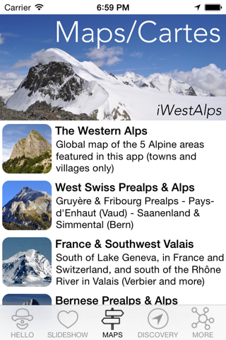
Featured areas:
Vaud Alps (Les Diablerets, Leysin, Villars-Gryon, Les Mosses...)
Fribourg Prealps (Gruyères, Moléson, Jaun, Charmey...)
Pays-dEnhaut (Château-dOex, Rossinière, Rougemont...)
Saanenland (Saanen, Gstaad, Gsteig, Schönried...)
Simmental (Zweisimmen, Lenk...)
Bernese Alps (Grindelwald, Wengen, Jungfraujoch, Adelboden, Kandersteg...)
Chablais Alps (Abondance, Morgins, Avoriaz, Morzine, Champéry, Morgins...)
Southwest Valais (Verbier, Veysonnaz, La Tzoumaz, Les Marécottes, Champex...)
Southeast Valais (Zermatt, Saas Fee, Arosa, Zinal, Grimentz, Saas Grund...)
North Valais (Crans-Montana, Anzère, Ovronnaz, Leukerbad, Derborence, Sanetsch...)
Each area is displayed on a relief map showing you summits with the surrounding towns and villages, as well as points of view you can reach with a car, a mountain railway, or a cable car.
Have a nice journey in the Alps!